Earth from space images are an IotD tradition...
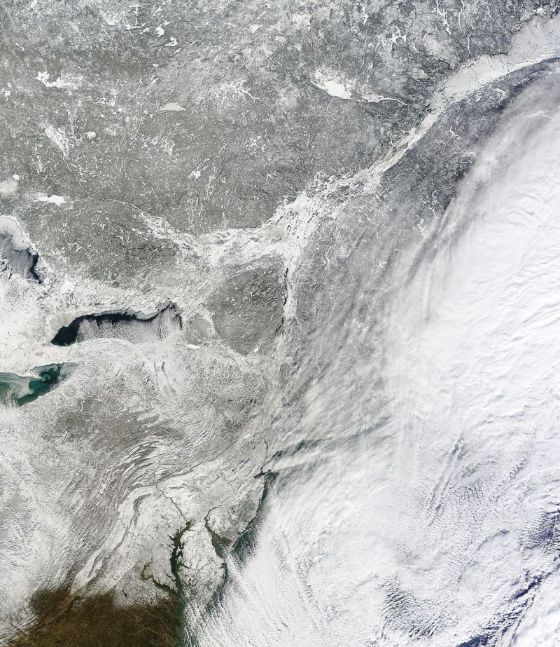
On January 3, NASA’s Terra satellite passed over the northeast United States, just as a massive snowstorm was leaving.
You may
go to NASA and look at the higher resolution images if you like. You may waste a lot of time doing it! Of course it will be of more interest to those of us who are in the shot.
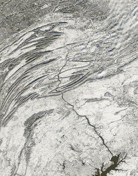
And with the highest resolution image, which is 10 MB in size, I could zoom in and isolate many awesome things. Such as how the mighty Susquehanna River didn't freeze, and shoved its way through the Appalachians, as it has for as long as humans have known: