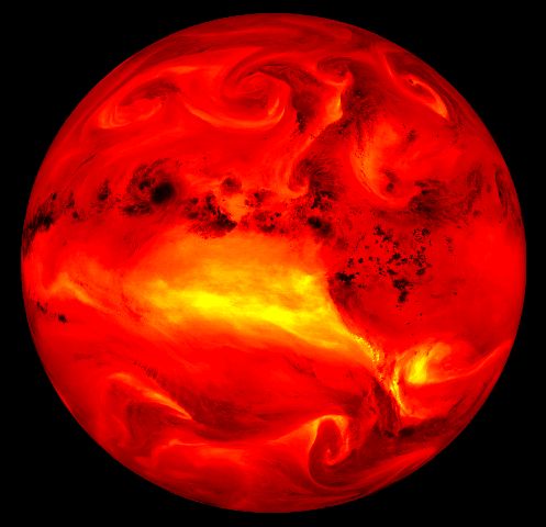
It looks like a ball o' flame, but it's actually a picture of the earth - the water vapor of the earth. The satellites record the wavelengths that pick up the water vapor. The bright areas are actually the dry areas, and the dark spots are storms and high cloud tops.